
High Pressure zone (Antistorm) south of Australia
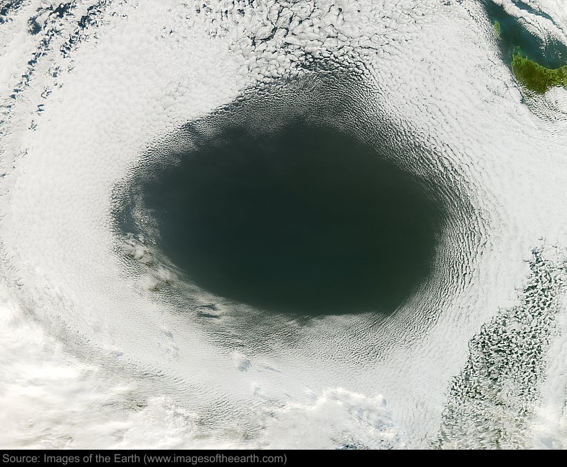
Approximate image footprint: 1876 X 1665 km
Coordinates: 46.14S, 135.83E
Date: June 5, 2012
Satellite sensor: Moderate Resolution Imaging Spectroradiometer (MODIS)
Raw data credit: NASA
Spectral range: Natural color
Click HERE to purchase an 8 X 10 photographic enlargement for only $5.45 (more sizes are available).
Images on this site were compiled by Paul Illsley.
Return to Images of the Earth homepage.
|