
Betsiboka River, Madagascar
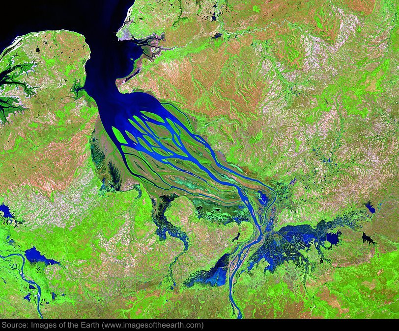
Approximate image footprint: 91 X 72 km
Coordinates: 15.95S, 46.41E
Date: April 10, 2003
Satellite sensor: Landsat 7 ETM+
Raw data credit: NASA
Spectral range: Enhanced infrared composite
Click HERE to purchase an 8 X 10 photographic enlargement for only $5.45 (more sizes are available).
Images on this site were compiled by Paul Illsley.
Return to Images of the Earth homepage.
|