Who is Paul Illsley
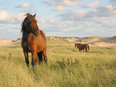
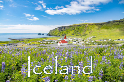
Iceland
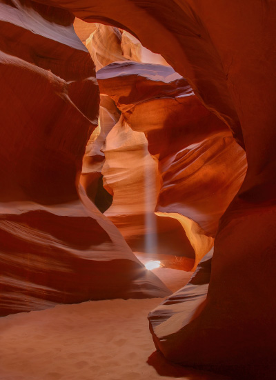
Photographic Composition (tutorial)
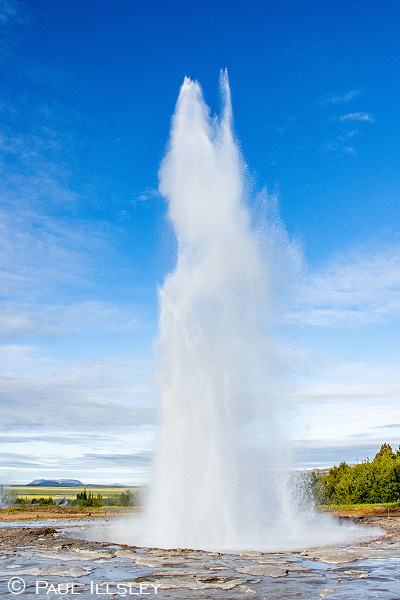
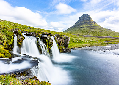
Travel Guide to Iceland's Golden Circle
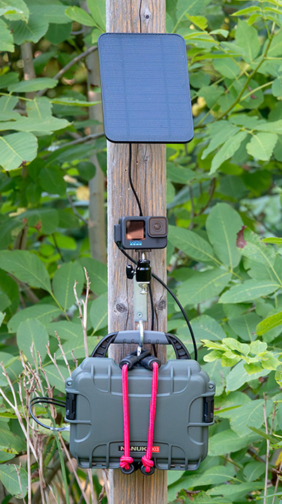
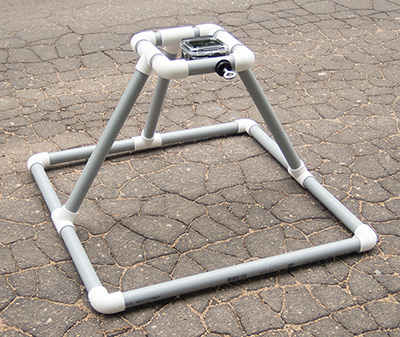
DIY Solar Powered Long Duration Time Lapse GoPro Camera Setup
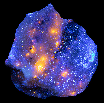
Ultraviolet Induced Fluorescence (UVIF)
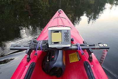
Kayak Bathymetry Mapping Project
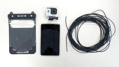
Underwater Camera Wi-Fi Cable Setup
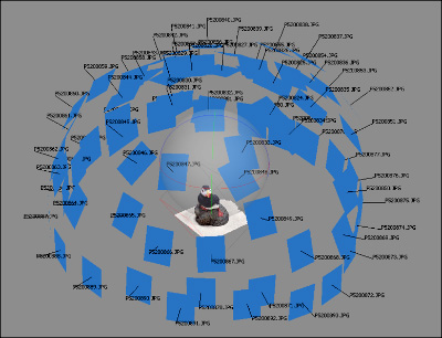
Collecting Images for Photogrammetry Projects
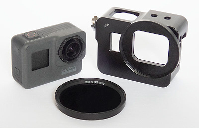
Recording Infrared Images with a GoPro Camera
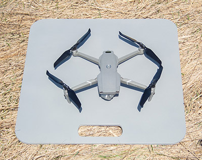
DIY Drone Launch and Landing Pad
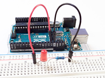
Introduction to Arduino (with projects)
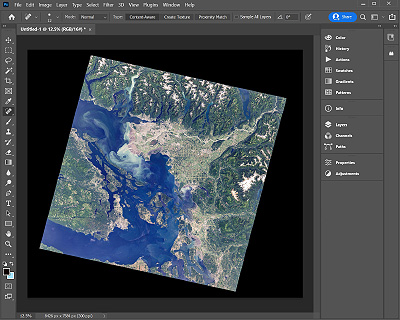
Processing Satellite Imagery in Adobe Photoshop
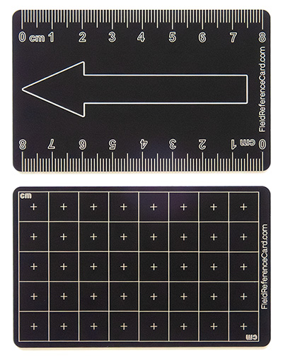
Anodised Aluminum Field Reference Cards

DIY Baited Remote Underwater Video (BRUV) Setup
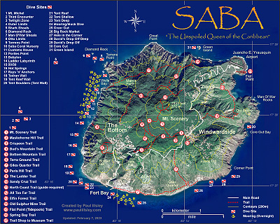
Dive Sites, Mooring and Hiking Map of Saba

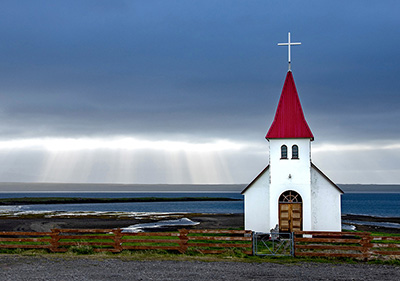
190 places to explore in Iceland
22 minute Photographic Tour of Iceland (Video)